Zettwing ; Windhaag
Zettwing
Zettwing
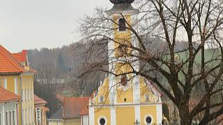
Zettwing is located on an old “Urweg”, a mule track that led from the Danube to Bohemia. The place name ZETTWING is derived from the Celtic. The syllable “Zett” (celt. COET) means “forest” and the syllable “Win” (celt. VIN) denotes a “clearing”. Zettwing actually means “forest clearing”.
The medieval development and settlement with German-speaking population
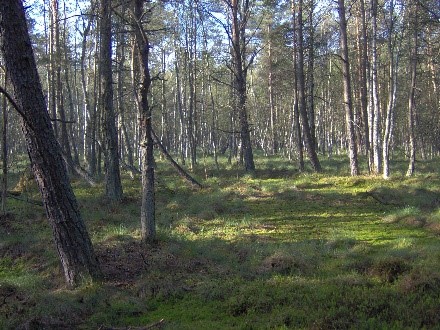
took place in the 2nd half of the 13th century under Przemysl Ottokar II, who as Bohemian and Austrian sovereign from 1251-1278 cleared the dense forest belt of the northern Mühlviertel and southern Bohemia.
A parish church is said to have existed in Zettwing as early as 1285.
Zettwing was first mentioned in a document in 1325 when Peter von Rosenberg had the villages of Zettwing and Böhmdorf pledged to Bohunko von Harrach for 83 silver marks.
The Zettwinger Church was first mentioned in writing in 1384.
In 1418, Zettwing was granted market rights by Andreas von Rosenberg.
In 1420-23 Zettwing was repeatedly harassed by Hussite groups.
In 1498 the market rights were extended and Zettwing received a five-petalled rose with a gold center on a silver background as the market coat of arms.
In 1620 Zettwing came under the rule of the Buquoys.
In 1627-28 the Counter Reformation was carried out in Zettwing.
1841-43 Anton Bruckner befriends the Sücka family from Zettwingen during his stay in Windhaag.
In 1849 the first mayor is elected in Zettwing after the abolition of the manor.
TIME HISTORY
In 1918, after the monarchy was dissolved, the Maltsch became the state border. The Czech customs office is initially located on the Austrian side in the Lexmühle in Hammern. You can cross the border with a simple “passenger ticket”. Smuggling is flourishing thanks to the more favorable price situation. “Sunday shopping in Zettwing” became a “popular” leisure activity for many residents of the neighboring communities of Leopoldschlag and Windhaag near Freistadt in the interwar period.
In 1930 the census found 523 people of German and 29 people of Czech nationality.
On October 1, 1938, the Sudeten German territories are annexed to the German Empire according to the Munich Agreement.
The Red Army passed Zettwing on May 10, 1945.
On July 24, 1945, a six-man committee took over the provisional administration of Zettwing.
In 1946 the German-speaking population was expelled into 8 transport groups. Only 20-30 remained in Zettwing until the end of 1946. It was thanks to the good understanding of the previous Czech customs officers with the German-speaking population that there were no acts of violence in Zettwing. In the summer of 1946
a pasture cooperative set up to look after the remaining cattle.
In 1948, shortly after the communist seizure of power, around 100 Czech immigrants from Slovakia, Romania and Bulgaria are settled in Zettwing. For the new residents, however, Zettwing is not particularly attractive because of its peripheral location (15 km to the next train station). In addition, they are not assigned any land by the pasture cooperative.
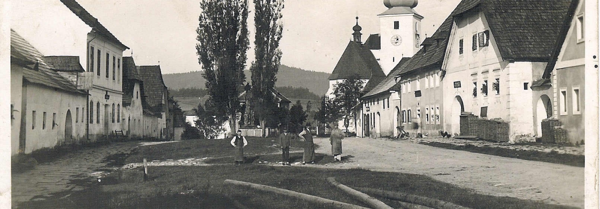
In 1951 the pastor and the remaining residents have to leave Zettwing. The region is declared a "forbidden border zone". Despite the deployment of the border patrols, the inventory of the empty houses is partly sold and robbed. Doors and windows were torn out so that the abandoned buildings quickly fell into disrepair.
In 1955-56, by order of the Ministry of the Interior, the approximately 120 houses in the town were razed to the ground with the exception of the church and four houses with bulldozers.
At Easter 1956, the pieces of wood still lying on the rubble were burned. The fire eats its way up to the Maltsch and threatens the Lexmühle on the Austrian bank.
What remains is a picture of the devastation. A total of around 600 houses in this region were destroyed in this way.
Border guards were still in place on the Czech side until around the mid-1950s
relatively loose. For example, Czech border guards bathed together in the Malsch
Austrian families.
It was not until around 1958 that the so-called "Iron Curtain" was gradually built. Around 200 border guards from the 9th unit of the 2nd brigade stationed in Kaplitz were responsible for guarding a 60 km border line. The service as a border soldier itself took place under the strict supervision of some officers and amounted to a punitive transfer.
A border guard station was set up in Zettwing. The Czech customs office and a small barracks built later served as accommodation. Both buildings still exist today. The church tower became a watchtower.
In 1990 after the “Soft Revolution”, Zettwing is freely accessible again.
In 1995 the Budweis bishopric began renovating the church.
September 6, 2003 Re-consecration of the former parish church "To the Birth of Our Lady".
zurück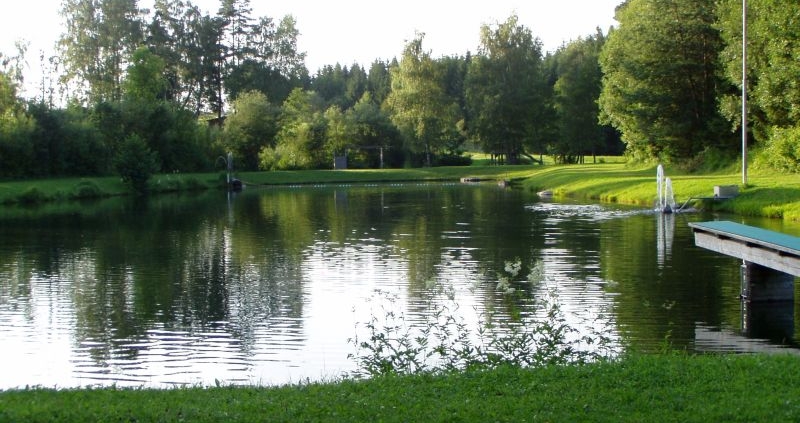


 um sie
